

From Evermade
Jenni Sparks A1 Hand Drawn Map Of London Print
$182.49
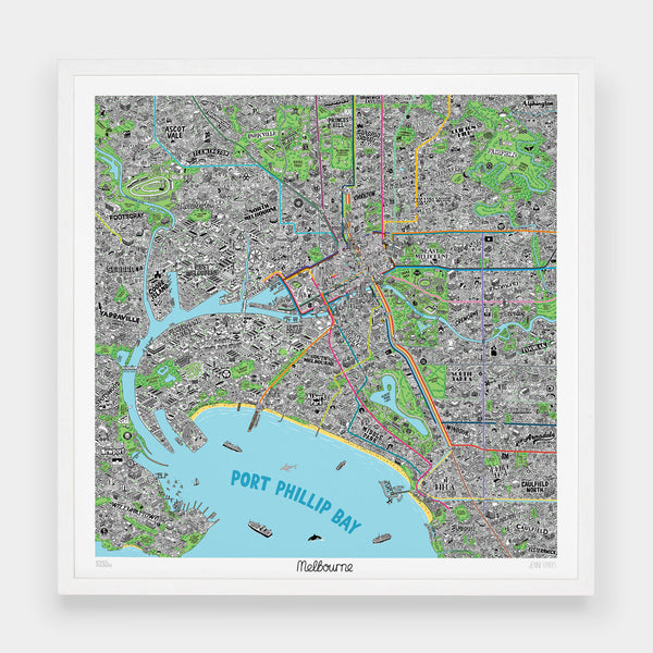


In collaboration with illustrator Jenni Sparks we present the definitive culture map of Melbourne. This artfully doodled hand drawn map of Melbourne has it all - from the world-famous sports venues and beautiful coastal vistas to the small obscure coffee shops and hidden gems cherished by the locals. The map is not only design ‘must-have’ but also provides a handy reference point as it is based around local public transport.
Giclée print on matt paper, 24" x 24" / 61cm x 61cm
Rolled and wrapped in acid-free tissue.
Not Your Typical Map: The map is densely packed with hundreds of illustrations representing both well known facts about Melbourne and new discoveries. Among the other points of interest are local markets, bars, parks, beaches along with tidbits of local history.
Areas Covered:
The hand-drawn map of Melbourne covers the central areas of Albert Park, Ascot Vale, Carlton, Collingwood, Fishermans Bend, Fitzroy, Flemington, Footscray, Kensington, Newport, Parkville, Princes Hill, Richmond, Seddon, Southbank, Tookrak, Williamstown, Yarraville and more!


